


















A Shadow on the Horizon
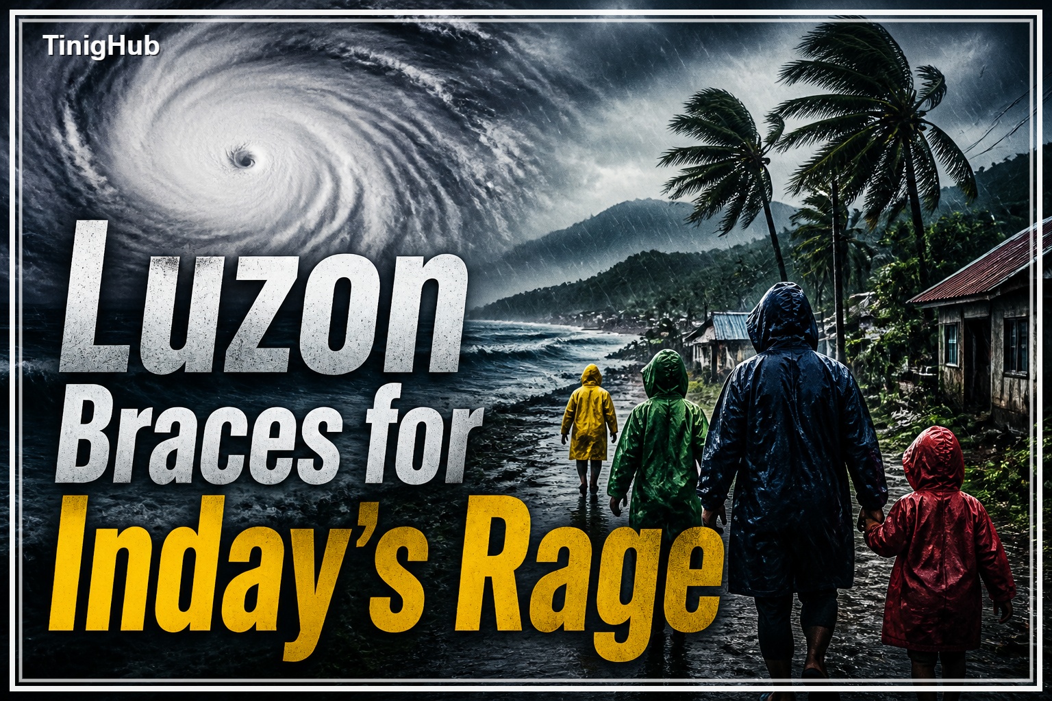
Super Typhoon Inday, which is internationally named Bavi, entered the Philippine Area of Responsibility (PAR) on Wednesday, July 8, 2026, causing a chill of dread across the country. This monstrous weather system, a harbinger of unspeakable devastation, has set a course that demands the focused attention and immediate action of every soul in its path. Its arrival signals the dawn of a grim chapter for a nation all too familiar with the wrath of the heavens.
The Deadly Shifting Path
Though Inday’s initial terrifying might has weakened a bit from its super typhoon status, being downgraded to a still-dangerous typhoon as of Thursday, July 9, Inday’s danger is far from over. But Inday remains a beast to be reckoned with, with maximum sustained winds of 175 kilometers per hour and gusts of up to 215 kilometers per hour. The ominous forecast describes its relentless westward movement, before a cruel turn northwestward over the Philippine Sea. The most directly threatened area is extreme Northern Luzon, especially the resilient islands of Batanes, as Inday is forecast to come perilously close between Friday evening and Saturday morning, July 10-11. Outside the archipelago, the forecast takes it on a path toward the southern islands of Japan and waters north of Taiwan, with a projected landfall over the eastern coast of mainland China on Sunday, July 12.
Northern Luzon Under Assault
The state weather bureau PAGASA has placed a vast area of Northern Luzon under Tropical Cyclone Wind Signal (TCWS) No. 1. A warning is now in effect for Batanes, Cagayan including Babuyan Islands, Isabela, the northeastern portion of Quirino, Apayao, the northern portion of Abra, Kalinga, the eastern portions of Mountain Province and Ifugao, Ilocos Norte and the northern portion of Aurora, as well as the northern and central portions of Catanduanes. Now, these communities are preparing for winds that could inflict the same destruction, a stark reminder of the looming catastrophe.
Deadly Embrace of the Monsoon
On top of Inday’s direct assault, the enhanced Southwest Monsoon, locally known as “Habagat,” has joined the typhoon’s periphery. This convergence of atmospheric forces is going to bring a deluge of strong to gale force winds and devastatingly heavy to intense monsoon rains over much of the country from Thursday through Saturday, July 11. The combined onslaught targets the western sections of Mindanao and Visayas and vast stretches of Luzon including Negros Island Region, Western Visayas, MIMAROPA, Bicol Region, CALABARZON, Central Luzon, Ilocos Region, western Cordillera and the sprawling metropolis of Metro Manila.
FLOODS AND LANDSLIDES: THE DANGEROUS PERIL
The fact is, widespread flooding, dangerous rain-triggered landslides are not possibilities but probabilities. The very roots of daily life are threatened: families will be torn from their homes by forced evacuations, agriculture destroyed, infrastructure crumbling, and the rhythm of education and commerce cruelly broken by class and work suspensions. Travel by land, sea and air is heavily disrupted, cutting off communities, heightening the sense of impending doom.
Dangerous Seas Summon
Even the maritime domain is feeling the suffocating grip of Inday’s approach. The northern and eastern seaboards of Luzon and the Visayas are shrouded by gale warnings, painting a terrifying vista of very rough seas, with waves surging to a staggering 4.5 meters. It has been said that the mere act of putting out to sea is very dangerous, and all mariners have been warned sternly to take refuge and remain in port until this terror upon the water has passed.
A Nation Prepares for Survival
The danger is so great that the machinery of government and the spirit of the people have been roused. President Marcos issued urgent directives for the immediate implementation of a comprehensive disaster preparedness program. This means the vital work of preemptive evacuations, strategic prepositioning of life-saving relief goods and tireless rescue teams, and the strict securing of evacuation centers, ensuring there will be havens for those displaced by the storm. Alternate routes are being scouted, a desperate attempt to keep open lifelines in a landscape that may soon become impassable.
Agencies on the brink
The Department of Health has declared a “Code White” alert, which means that emergency response teams are on a heightened state of readiness, with millions worth of medicines and hygiene kits already strategically prepositioned. The Department of Social Welfare and Development has stockpiled millions of food packs, an indication of the scale of the expected humanitarian crisis. The Philippine Coast Guard, a bastion of hope on the seas, is on high alert, making preparations for mass evacuations, enforcing sea travel advisories and securing vital ports. Local government units are already taking drastic measures, suspending classes and ordering preemptive evacuations. In Batanes, the very spirit of community is evidenced by residents reinforcing homes and securing their precious fishing boats against the coming tempest. Even the critical power infrastructure under Meralco and flood mitigation under MMDA are being fortified with crews on standby for the inevitable disruptions
The Road Forward: Vigilance and Resilience
Inday is expected to gradually weaken as it moves across the PAR but it will still be a typhoon, a force of great destruction, until it eventually leaves. A quicker weakening is a thin hope, reliant on bad environmental conditions as it moves east of Taiwan. For now, the country breathes a collective sigh of relief, eyeing the full, terrifying power of Super Typhoon Inday, its resolve plied, its spirit unbroken. The next few days will be a testament to the wrath of nature and the undying spirit of man.